Geophysical investigations and methodologies are widely used in environmental studies for mapping, monitoring and quantifying the presence of contaminants in soil, rocks and groundwater. Environmental professionals require information of the location, distribution, underground transportation paths and physical properties of the soils and pollutants for evaluating the environmental risk and hazards posed to any particular site.
Plume Mapping
Landfill Leachates
Geophysical Surveys for Site Contamination Assessment
In environmental investigations, geophysical surveys provide depth images of the physical property variations in the soils and rocks, which are further associated to subsurface contamination. Based on this information the engineers will assess the potential impact on the subject and nearby properties and further recommend the mitigation, treatment and containment measures for the contamination.
Geophysical Methods Used In Environmental Studies
ERT
MAG
GPR
Borehole EM
FDEM
TDEM
Seismics
Locates
Applications and Solutions
Mine Site Environmental Impacts
Abandoned Oil Wells
Borehole Monitoring
Buried Debris
Buried Containers
Buried Metal Object Mapping
Waste Deposit Mapping
Buried Well Mapping
Contaminant Plume
Contaminant Transport Monitoring
Construction Waste Materials
Contamination Extent
Illegal Dump Sites
Groundwater Pollutants
Hazardous Waste Site
Historic Landfill Sites
Hydrocarbon Contamination
Industrial Waste Materials
Landfill Boundary Delineation
Leachate Leaks
Monitoring Contaminated Soils
Oil & Gas Soil Contamination
Radioactivity Monitoring
Saline Groundwater Intrusions
Site Assessment
Soil Conductivity Mapping
Soil Salinity
Soil Type Mapping
Spills Mapping and Monitoring
Underground Storage Tanks
Unexploded Ordnance and Munitions
Utility And Piping
Drums, Cylinders & Canisters
Well Location Optimization
Environmental Site Assessment
Phase I ESAs for Commercial, Industrial, and Oil & Gas
Areas of Potential Environmental Concern (APEC’s)
Site Visit for Liability and Due Diligence
Property Past Use Review
Personnel Interview
Assessment Reporting
Mapping and Monitoring Contaminated Soils
The risks associated with contaminated soils, sediments and other environmental pollutants are basically related to the number of people potentially exposed to the contaminated areas and the risk of expansion of contamination to other subsurface and groundwater reservoirs.
DC Resistivity Imaging, Seismics, EM profiling and sounding, Self Potential and Gradient magnetics are commonly used to map those sites and to estimate-monitor the contamination levels for further environmental assessment and remediation (examples are concentrations of metals, agricultural contaminants, petroleum contaminated soils).
Contaminant Plume mapping
Contaminants dissolved in the groundwater will alter the physical and chemical properties of soils, rocks and groundwater. Contaminant plume mapping is done by geophysical mapping of natural features that will control contaminant migration (pathways of preferential permeability), homogeneous geologic settings permit the interpretation of contaminants. DC resistivity imaging, Seismics and EM methods are used to map anomalous zones associated to contaminant plumes.
Landfill Imaging, Boundary Mapping and Extent Delineation
Evaluating the inhomogeneity of the landfill materials (usually chemical waste materials) and mapping its geometry is a common task resolved by geophysicists. 1D Electrical methods have been successfully applied to map the bottom of landfills and delineating subsurface waste areas. Electrical 2D Resistivity imaging provides depth estimation and internal structure and composition of landfills. Electromagnetic (EM) methods are commonly used in delineating lateral extend of landfills. Discrimination between metallic and non-metallic waste areas within landfills is also provided.
Underground Storage Tanks,Buried Drums and Utilities
Identifying the location of buried drums is often an important part of environmental investigations. Use of electromagnetic techniques and magnetometer has all provided successful results. Detail Seismic surveys are used to delineate subsurface features such as underground storage tanks, buried drums, and utilities.
Soil Salinity Evaluation
Agricultural properties subject to irrigation can be compromised as water evaporates and formerly dissolved materials remain in the soil as salt deposits. Over time, this accumulation can remove the soil from productive agricultural use. Monitoring and mapping the soil conductivity can modify irrigation practices modified to reduce the soil salinity. Seismic refraction surveys, Electrical imaging, VES and EM are essential in soil salinity evaluation.
Location of septic systems
Locating septic systems can be done to facilitate repair or investigation of environmental impacts. Detailed Ground Penetrating Radar, Seismic or Conductivity methods are used.
Mapping and monitoring pollutants in groundwater
The assessment of the degree and extent of pollution in groundwater involve bedrock characterization and mapping, fracture analysis, and hydraulic property estimation (conductivity, permeability, etc). The application of seismic refraction surveys, electrical imaging and borehole resistivity are essential in groundwater pollution mapping and monitoring.
Hazardous Waste Site Investigations
DC resistivity imaging, Seismics and EM methods are used to map anomalous zones associated to hydraulic conductivity variations within the bedrock in the waste disposal sites.
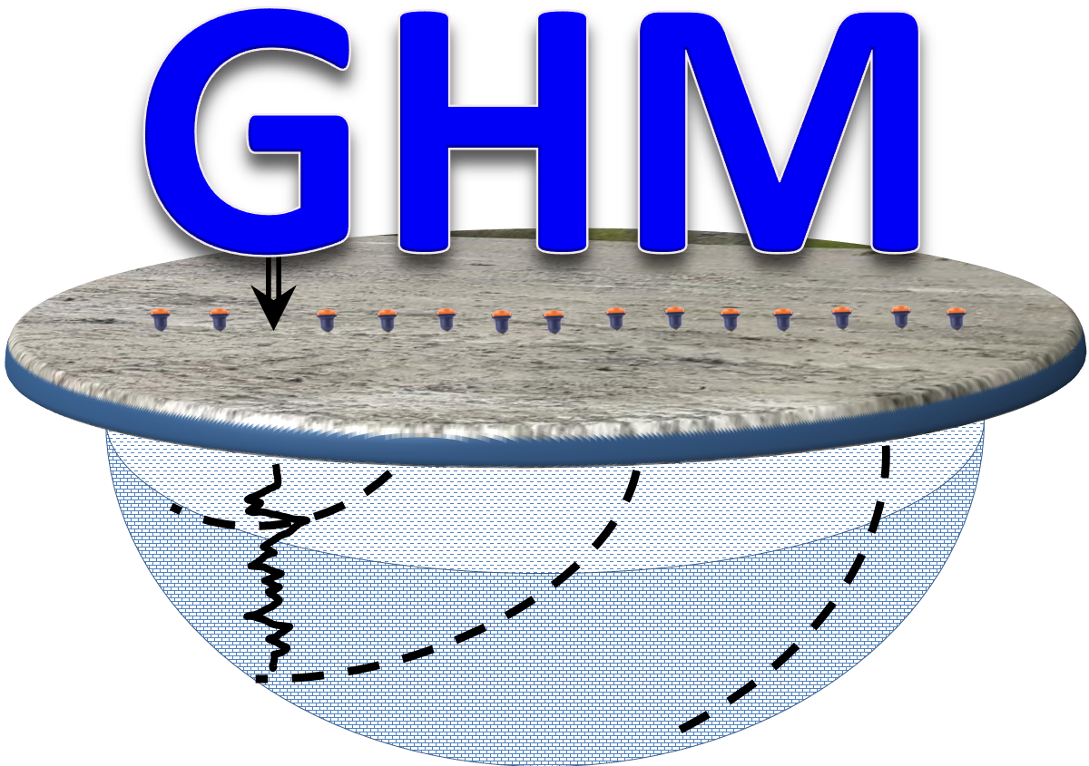 Geophysics HM


