The resistivity of soil and rocks depends on the water content, porosity percent, pore interconnection type, moisture, clay content, salinity and mineral content. The degree of compaction of sediments is another factor contributing to the resistivity of soils and fill materials. An empirical formula relating the materials resistivity to porosity, degree of pore saturation, and resistivity of the liquids was developed by Archie in 1942.
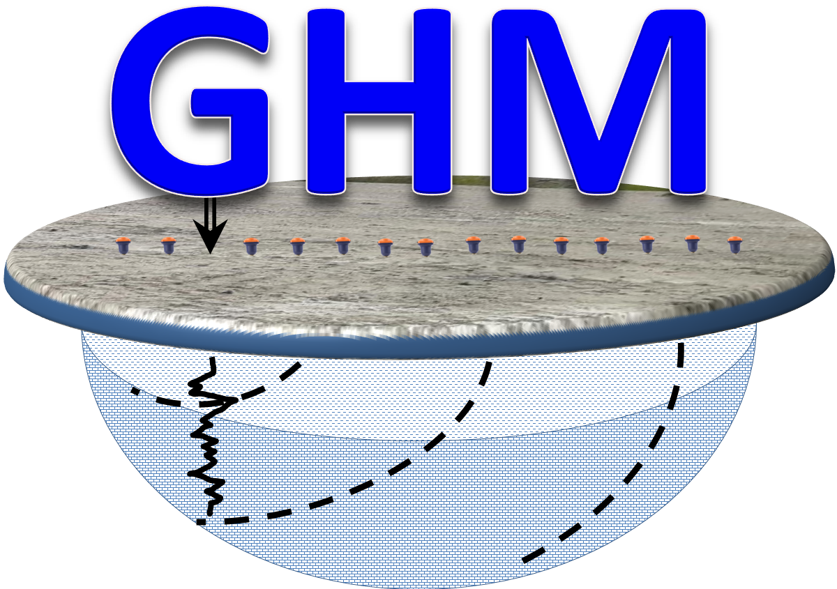
The Resistivity and Induced Polarization surveys for geological, environmental and mining exploration can be done measuring potential voltages of the induced and transmitted signal in an array of cables and distributed electrodes on the surface of the ground with a Current Transmitter (Tx) and a Time Series data acquisition instruments or datalogger (Rx). A direct current transmitter is utilized to energize the ground with a half duty current pulse using one or two steel rods planted into the ground. In the time domain applications, after two seconds of uninterrupted current injection, the current pulse is terminated and the decay of the voltage or induced polarization effect is measured with another pair of electrodes.
Geophysics HM Ltd uses a Time Domain Induced Polarization and Resistivity Method for stratigraphic profiling, environmental assessment, hydrogeological investigations and mineral exploration detecting and discriminating fined grained disseminated sulphides and coarse-grained massive sulphides.
In time-domain IP, several indices have been used to define the polarizability of the medium. Seigel (1959) defined "chargeability" (in seconds) as the ratio of the area under the decay curve (in millivolt-seconds, mV-s) to the potential difference (in mV) measured before switching the current off. Komarov, et al., (1966) defined "polarizability" as the ratio of the potential difference after a given time from switching the current off to the potential difference before switching the current off. Polarizability is expressed as a percentage. The normalized chargeability is calculated as Mn = Ma/Rho.
The Cole-Cole model decay fit provides a three-parameters M, T and C. The time-constant T is used for differentiating materials with different mineral grain sizes. Time domain spectral Cole-Cole parameters are used in mineral exploration to assist in identifying graphite and clay from sulfide mineralization. In Environmental and geotechnical applications is is used for stratigraphic differentiation and contamination monitoring.
The interpretation and recovery of the earth models from the induced polarization data is done using UBC 2DINV and 3DINV inversion software. The obtained resistivity cross-sections provide the distribution of the resistivity and thickness of the stratigraphic layers below the survey line. The recovered chargeability sections provide information regarding the metal content and economic accumulation of minerals such as metallic sulphides, graphite, clay and contamination of soils.
Geophysics HM Ltd provides Induced Polarization and Resistivity surveys using conventional and "State of the Art" Time Series acquisition, processing, inversions and interpretation developed in-house. Processing begins by importing all collected data into our “XG” processing platform. Geospatial information in local and real world coordinates is verified and raw data integrity is confirmed. Depending on the objective of the given survey, various digital filters and math expressions may be applied to remove irrelevant features in the data. The calculated parameters are independent physical properties of the subsurface presented using normal pseudo-section plotting conventions.
Advantages
"POISSON" Data Acquisition System and "XG" processing platform have proved to be an efficient system for recording and processing resistivity and induced polarization field data. The use of the technique will be advantageous for:
Reducing drilling costs by efficiently identifying and defining targets
Assisting geological and engineering earth model interpretation by providing high resolution cross-sections and plan maps
The calculated spectral parameters provide valuable information on subsurface mineral distribution and mineralization grain size
Detecting mineralization and alteration from near surface to approximately 500m depth pending cultural and geological background and on length of the acquisition array
Mapping known structures and mineralization with multi-spectral parameters
Applications and solutions for geological , environmental, hydrogeological and mineral exploration
 Geophysics HM