 Geophysical Surveys and Structure NDT Imaging Technics | Geophysics HM
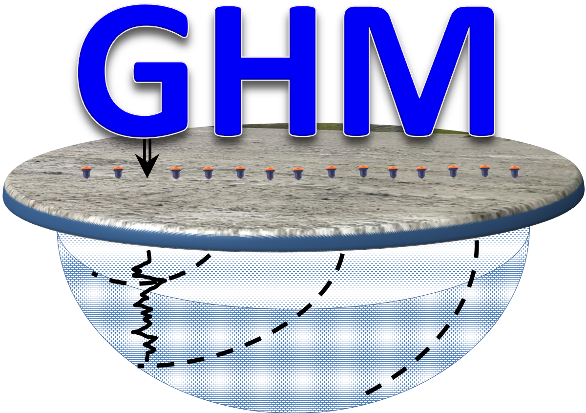
Geophysics HM Ltd
Translate This Page

"EPSILON" Road Structure Profiler for Pavement, Granular and Sub-Base Imaging

"DELTA" High Resolution Non-Destructive Scanner for Bridge Inspections

"POISSON" Distributed Geophysical Time Series Acquisition System

"XG" Robust Acquisition & Processing Platform for IP, Seismics, MT and Natural Fields

Conventional Geophysical Methods for Solving Complex Sector Applications

GPR, Seismics, MASW, ERT, Induced Polarization, EM, MAG, Gravity and Borehole Logging