Geophysical surveys are non-intrusive, fast and affordable tools used for due diligence risk, hazard assessment and property liability management. In order to get the “Top Dollar” in property transactions while minimizing the environmental and social risks it is crucial that both parties involved perform due diligence assessment on the property. For a successful transaction of the property, the past and present use, history of the activities, potential hazards and liabilities buried on the property should clearly be investigated and presented to the involved parts. The interpretation and analysis of the geophysical data collected on the subject property will assist the environmental and geotechnical professionals on managing and reducing the risk associated to underground problems and potential hazards. Geophysical methods will provide the location, extent and image of un-known buried objects, ground conditions, buried infrastructure, pollutant plume, chemical leaks, contamination and active utilities.
Contaminant Liabilities
Buried Metals
Orphan Wells
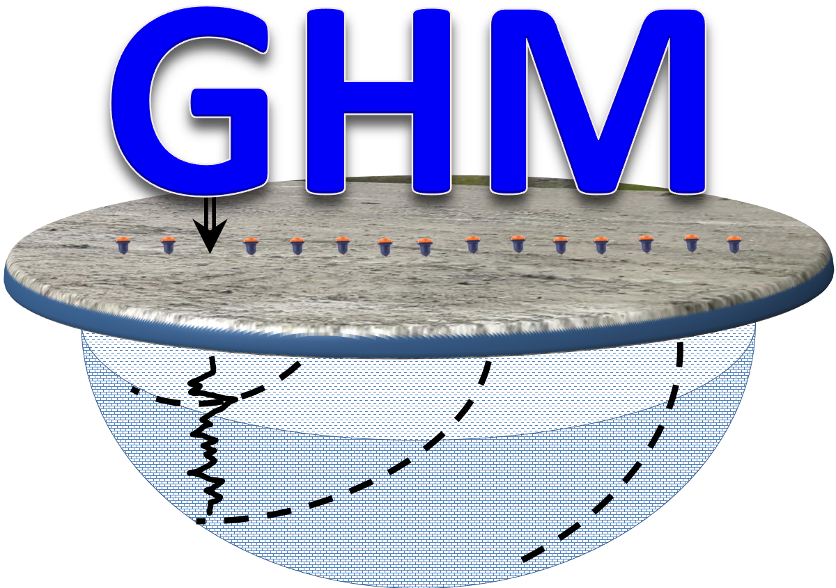
Geophysical Methods For Due Diligence Investigations
GPR
TDEM
MAG
Seismic - MASW
ERT
Locates
FDEM
Logging
Applications and Solutions
Buried Cars
Buried Drums and Canisters
Buried Gas Cylinder
Buried Metallic Objects
Buried Non-metallic Objects
Buried Structure and Foundation
Buried Tires and Rubber Waste
Contaminant Plume
Ground Settlements
Groundwater Contamination
Groundwater Quality
Hazardous Materials
Hydrocarbon Spills
Illegal Underground Dumping
Land Decommissioning
Property Assessment
Sinkholes
Site Reclamation Investigation
Site Rehabilitation Assessment
Soil Contamination
Soil Contamination Assessment
Soil Property Changes
Structure Integrity
Subsurface Imaging
Tunnels
Underground Storage Tanks
Unexploded Ordinance
UST Mapping
Utility Locates
Voids
Waste Disposal
Mapping Buried Foundations
Electric Resistivity Tomography and Ground Penetrating Radar are geophysical techniques commonly used for mapping buried foundations which have remarkable differences in the electric properties of the forming materials compared to the surrounding host matrix and natural sediments.
Cavities and Sinkholes Investigations
Cavities and sinkhole can cause damage to a homes and constructions. Electrical Imaging (EI) and Seismics are used for Karts investigations and location of karst-related voids in the subsurface.
Mapping Contaminant Plume and Monitoring Contaminated Soils
The risks associated with contaminated soils, sediments and other environmental pollutants are basically related to the number of people potentially exposed to the contaminated areas and the risk of expansion of contamination to other subsurface and groundwater reservoirs.
Direct Current Resistivity Imaging, Seismics, EM profiling and sounding, Self Potential and Gradient magnetics are commonly used to map those sites and to estimate-monitor the contamination levels for further environmental assessment and remediation (examples are concentrations of metals, agricultural contaminants, petroleum contaminated soils).
Contaminants dissolved in the groundwater will alter the physical and chemical properties of soils, rocks and groundwater. Contaminant plume mapping is done by geophysical mapping of natural features that will control contaminant migration (pathways of preferential permeability), homogeneous geologic settings permit the interpretation of contaminants. DC resistivity imaging, Seismics and EM methods are used to map anomalous zones associated to contaminant plumes.
Underground Storage Tanks, Buried Drums and Utilities
Identifying the location of buried drums is often an important part of environmental investigations. Use of electromagnetic techniques and magnetometer has all provided successful results. Detail Seismic surveys are used to delineate subsurface features such as underground storage tanks, buried drums, and utilities.
 Geophysics HM


