Geophysical techniques such as Ground Penetrating Radar, Infrared Tomography and MASW are inexpensive non-intrusive techniques that provide detailed information of the condition and image of the structure of the road section in record time.
Conventional road structure analysis and pavement evaluations are usually done by visual inspection and intrusive testing such are coring and geotechnical borehole drilling. This practice is intrusive in nature and requires lengthy closure of the traffic lanes due to mobilization of large machinery and personnel to the road surface for conducting the survey and analyzing the affected areas.
Granular Thickness Map
GPR Road Scanning for Pavement Resurfacing / Asphalt Thickness Map
Geophysical techniques for pavement analysis are commonly used for road and sub-base layer characterization and thickness estimation, void and sinkholes mapping and monitoring, culverts, buried concrete structures and utility mapping, pavement defects detection and assessment, asphaltcompaction analysis, cracking, and delamination mapping.
Geophysical Methods Used forRoad Structure Imaging
EPSILON Profiler
GPR
PDP
Thermal Imagery
Applications and Solutions
Airport Runways Integrity Assessment
Asphalt Density Profiling
Asphalt Pavement Thickness
Bedrock Depth
Buried Corduroy Road
Buried Rail Tracks Mapping
Buried Wood Logs Mapping
Concrete Structure Imaging
Culvert Mapping
Geotechnical Borehole Locations
Granular Thickness
Manhole Cover Mapping
Native Soil Profiling
Pavement And Granular Material Changes
Pavement Cracking
Pavement Deformation And Distortion
Pavement Deterioration
Pavement Structure Imaging
Pavement Surface Defects
Road and Highway Utility Mapping
Road Integrity Assessment
Road Resurfacing Assessment
Road Settlement
Road Voids And Sinkholes
Roads And Runways Structure Imaging
Soil Layers
Sub-base Thickness
Sub-grade Base Depth
Asphalt Thickness Contour Grid Maps
"EPSILON" high speed GPR scanning is used by Geophysics HM Ltd for estimating the asphalt thickness for roads and HWY's. The road asphalt pavement layers are designed for interacting with wheel forces of the heavy traffic, temperature variations and and weather conditions. The performance of the pavement will dictate the quality of the road service and the life span of the structure.
The thickness, structure and composition of the asphalt layers will dictate the performance of the road under different load and conditions. If the asphalt layer is thin the deterioration of the road will increase rapidly, alternatively with the increases of the thickness, the bearing capacity of the pavement increases leading to better performance and longer service.
Road Engineering Sections
Scaled sections of the road structure are very valuable to geotechnical professionals for road design, rehabilitation, resurfacing and maintenance. The sampling or station intervals of the sections provided by Geophysics HM Ltd are within the meter accuracy or less. This will cover the large gap between geotechnical boreholes and cores usually drilled in the range of 100m to 500m for large scale projects with high degree of detail. The sections will also have excellent vertical resolution of the asphalt layers (including the wearing course, binder and asphalt bottom layer), the Granular Base and theSub-base.
Culvert Structure Imaging
High speed and detailed Ground Penetrating Radar is utilized for detecting metallic and concrete culvert structures bellow the road. Mapping the exact location, extent and confirming the cover depth of the culvert structure is vital and required for road maintenance, resurfacing, geotechnical coring and for assessing the integrity of the structure itself.
PavementConcrete Structure Mapping
Geophysics HM Ltd can provide comprehensive plan maps and cross-sections with the extent and location of concrete pavement structures not documented or tested with geotechnical boreholes.
Corduroy Roads, Utilities and Buried Wood Logs
Mapping and locates of corduroy road beds, utilities and wood logs buried under the road structure is possible with Ground Penetrating Radar without the need of road closures and expensive intrusive techniques such as trenching or coring.
Pavement Defects and Condition Assessment
The condition, quality and structural defects of the road structure can be assessed using different non-intrusive geophysical techniques and NDT methods including Ground Penetrating Radar, MASW, Electric Tomography and Thermal Imagery.
The granular base is the aggregate layer below asphalt pavement and concrete pavement structures. The granular is designed for providing the bearing capacity and strength required for the pavement structure. The granular reduces the stress of the subgrade layer and provides drainage for the pavement. The Sub-base is the lower granular layer and the foundation of the pavement structure and provides drainage and protection from extreme climate conditions.
Void and Sinkholes Mapping and Monitoring
Sinkholes and voids under the road structure may develop under different circumstances and ground conditions. They may originated from natural processes such as karst formation, rainfalls, landslides, soil drainage or generated from industrial activities, infrastructure settlement or service disruptions such as water and sewer pipe leaks that create voids and sinkholes.
Geophysical techniques can be used for rapid and efficient assessment of the road structure and subsurface conditions where there is a potential for sinkhole development, minimizing the risk of losing human life and property damages.
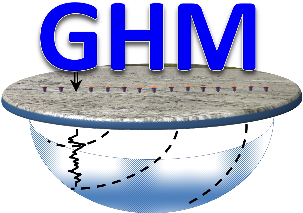 Geophysics HM


