Geotechnics is dedicated to the study of the physical and mechanical properties and conditions of the construction materials, fill, natural soil, groundwater and rocks. Geotechnical studies will clearly define the relationship of the subsurface materials with the structure being constructed (dams, bridges, buildings, railways, roads, tunnels) and should describe how the natural events such as flooding, ground settlements, sinkhole development, earthquakes, industrial processes and human activities will impact the integrity and life span of the structure at the investigated site.
Geophysical surveys for geotechnical site characterization are normally carried out before,during the construction and after the project completion along with geotechnical borehole drilling, excavation and test pits in order to measure, correlate and monitoring the physical properties of the groundwater, soil materials and bedrock and their interaction with the structure over time.
Soil Classification
Geotechnical Cross-Section
Geophysical Surveys and Drilling for Geotechnical Site Characterization
The primary applications of the geophysical methods in geotechnical investigations are bedrock depth estimation and stratigraphic layer profiling, soil elastic property estimation, rippability and rock quality assessment. Ground Penetrating Radar, Seismic Refraction and MASW surveys are routinely conducted during preliminary site investigations to provide a rapid assessment of seismic soil properties, depth to rock and integrity of the foundation materials. These techniques are successfully utilized in construction projects, quarries, landfill planning and development, groundwater management and infrastructure suitability and risk assessment.
Geophysical Methods Used in Geotechnical Investigations
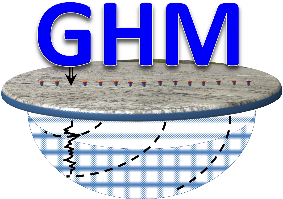
MASW/Seismics
GPR
EPSILON Profiler
ERT
GPR Profiling
FDEM
Micro Gravity
PDP
Applications and Solutions
Allowable Bearing Capacity
Bulk Moduli
Cohesion Coefficient
Compaction Control
Compression Resistance
Concentration Index
Consolidation
Deformation
Soil Density
Density Gradient
Hardness (FKP)
Internal Friction Angle
Lame Moduli
Liquefaction
Material Index
Poisson’s Ratio
Porosity
Rigidity Moduli
Rippability
Stiffness
Stress Ratio
Structure Depth
Structure Settlement
Sub-grade Support Conditions
Ultimate Bearing Capacity
Young Moduli
Landslide
Mudflow
Slope Stability
Erosion
Frost Heaving
Ground Subsidence
Cave and Sinkhole Development
Collapsible Soils
Groundwater Seepage
NBCC Seismic Site Classification
In Canada the NBCC2005 Standard is adopted for Seismic Site Classification across the whole industry spectrum. The shear wave velocities and the Vs30 velocity models are calculated using Multichannel Analysis of the Surface Waves (MASW) programs.
The MASW is a seismic technique which utilize the shear Raleigh waves generated at the surface form an active or passive excitation source such as sledge hammer strikes and micro vibrations. The velocities calculated form the shear waves are used for estimating the soil elastic moduli, the type of soil and its bearing load capacity.
Compressional and Shear Wave Velocities
Compressional and shear wave velocities (Vp and Vs) are estimated from the first breaks of the refracted seismic waves using hodographs and interactive inversion programs. Seismic velocity is a function of density, porosity, mineral composition, and the degree of cementation and consolidation, fracturing and weathering.
Physical Properties of Soils and Rocks
The elastic moduli (Poisson’s Ratio, Bulk’s Modulus, Rigidity Modulus and Young’s Modulus), the soil competence scales (material index, concentration index, stress ratio and density gradient) and the soil bearing capacity are key parameters for geotechnical siteinvestigations. Elastic and mechanical parameters are used for estimating the deformation in soil and rocks supporting large infrastructure foundations such as bridges, tunnels and buildings.
Stratigraphic Section Imaging
The geotechnical stratigraphic section and physical properties of the soil and rocks conforming the profile underneath the infrastructures can be obtained and correlate with geotechnical boreholes from geophysical measurements. The techniques widely used in the industry include Seismic Refraction, Ground Penetrating Radar, Electric Resistivity and Gravity. Applications of the geophysical techniques are encountered in roads and bridges utilities, dams, buildings, industrial plants and parking garages.
Buried Foundation and Infrastructure Assessment
Ground penetrating Radar, Electric Resistivity Tomography and Micro-Gravity are geophysical techniques used in many construction projects and geotechnical site investigations for locating, mapping and assessing the quality and integrity of buried infrastructure, piles, walls, columnsand foundations.
Concrete Slab Inspection
Ground Penetrating Radar and Thermal Imagery are common tools utilized for detecting concrete structure defects, spalling, delamination and cracking. Estimating and confirming the cover depth of the concrete structure is required to avoid premature corrosion of the steel elements. Imaging the position and relationship between the internal elements of thee concrete structure are very important aspects to consider during the design of the concrete structure. The inadequate selection and wrong placement of reinforcement will significantly affect the strength, stability and durability of the concrete structure.
Void Zones Mapping
Void and disturbed soil zones are usually encountered below and in the vicinity of utilities, buildings, roads and infrastructure. Successful detection of the voids using geophysical methodologies depends primarily on the size, depth and the contrast of the physical properties of the matrix (e.g. soil, rock formation) with materials or substances filling the void which can be air, water, soil or a combination of them. Various geophysical methods can be used for void detection including Ground Penetrating Radar, MASW, Electric Resistivity Imaging and Micro-Gravity.
Culvert and Tunnel Structure Imaging
Road construction, mining operations and hydrotechnical works require the use of culverts, tunnels and shafts. For safety operations and risk management these infrastructures require mapping and periodic inspection and assessment of the ground conditions. Geophysical surveys and non-destructive testing are cos-effective and efficient tools for a rapid assessment. Ground Penetrating Radars, Electric Resistivity Tomography and Seismic Methods are commonly used for mapping and assessing the integrity of culverts and buried tunnel structures.
Karst Formation and Sinkhole Mapping
Ground Penetrating Radar, Electric Resistivity Tomography, Refraction Seismics and Gravity are common geophysical techniques successfully used for locating and mapping karst formations, caves and subsurface groundwater channels natural occurring or artificially created. These underground features create hazardous and risk conditions for industrial and residential infrastructures and life in general. Disasters related to karst and sinkholes can occur in association with large diversity of infrastructures such as roads, airport tracks, building foundations, sewer systems, bridges and mine sites.
 Geophysics HM


