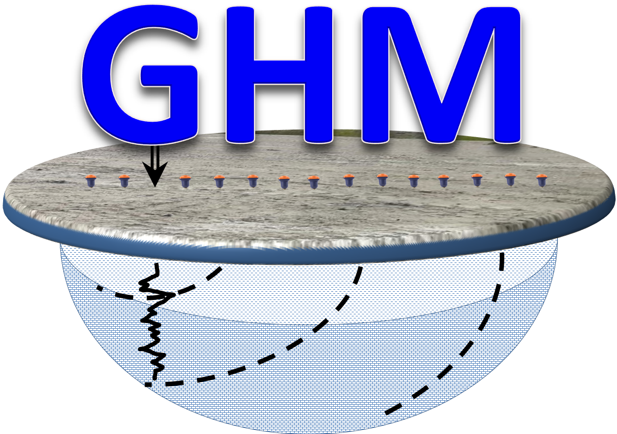
Ground Penetrating Radar is a geophysical mapping and imaging NDT technique based on the reflection and diffraction of electromagnetic waves from manmade buried objects, structure, utilities and natural features such as voids, sinkholes, bedrock and stratigraphy. GPR is similar to the reflection seismic method and can provide high accuracy 2D and 3D structural images and conditions of the subsurface objects, features and materials. Measurements are usually done by pushing or pulling antennas of different frequency over the ground along predefine surface profiles and grids. The penetration depth of the GPR method depends on the frequency of the antenna and the electric conductivity of the subsurface materials.
At Geophysics HM Ltd most of our applications are addressed using GSSI State of the Art GPR systems. At GSSI, the antenna is the crucial element of a RADAR system. It determines data quality, range resolution, maximum depth of penetration, etc. The 900, 400, 270, and 200 MHz and 300/800 MHz antennas used in UtilityScan and UtilityScan DF represent the state of the art in high-resolution, ground-based antennas. They possess the best combination of depth and resolution for ground inspection. Bi-static refers to the fact that the transmitter and receiver are two separate antenna elements even though they exist within the same enclosure. This differs from a mono-static antenna in that a mono-static uses the same antenna element to transmit and receive signals (GSSI, 2021).
Advantages
Ground Penetrating Radar Systems are widely used by Geophysics HM Ltd for environmental, geological and geotechnical investigations. GPR is successfully utilized for buried structure imaging and inspection, material property changes, lithological profiling and mapping, concrete scanning, void and sinkhole mapping, forensic, archeology, utility locates, UST mapping, land reclamation and due diligence investigations. The main advantages of the system are:
Non-intrusive and safe technology
Easy to deploy over unfavorable terrain conditions
High horizontal and vertical resolution
2D cross-sectional, plan maps and 3D model interpretation and presentation
High data acquisition speed and surface coverage
Sensitive to small and large buried metallic objects
Excellent resolution for metallic and non-metallic buried objects
Rapid and efficient data interpretation
Reliable field data processing and rapid interpretation of buried structures, objects and features
Large geoscientific versatility and wide range of applications
 Geophysics HM