Geophysics HM Ltd provides affordable geophysical surveys for finding, delineating and mapping the presence of archeological features, ancient buried structures, thumbs, graves, coffins, human remains, treasures and small artifacts.
Detailed geophysical surveys are commonly carried out over historic sites in order to delineate and map the presence of archeological features, ancient buried structures, thumbs, graves, coffins, human remains, treasures and small artifacts. The archeological targets are detectable by the geophysical techniques because they may have physical property differences with the surrounding soil and fill materials.
Historic Foundations
Cemeteries
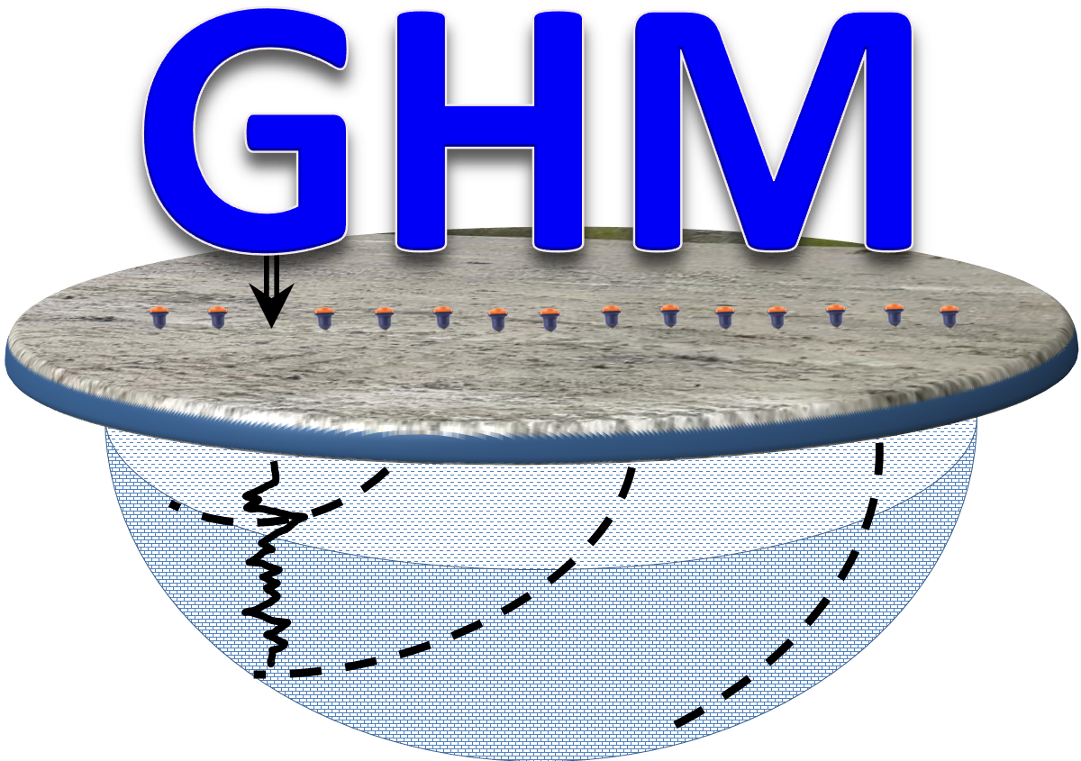
Geophysical Surveys for Archeological Site Mapping
Due to the non-invasive and non-destructive nature of the geophysical surveys they have been widely used in archeological investigations in order to reduce the risk of disturbing cultural sensitive and protected heritage sites such as ancient burials and cemeteries.The interpretation of the geophysical data in conjunction with other geographic positioning systems such as LIDAR will generate high-resolution digital elevation models and contour grids of the measured geophysical magnitudes. The interpretation of the data is presented in “Treasure Compilation Maps” where relevant anomalies are identified and assess in terms of viability for future investigations and intrusive testing and excavation activities. Various types of geophysical instruments are used for archeological investigations depending on the type of the target and extent of the archeological project. Most common geophysical techniques are GPR, Ground Magnetics, High Precision Metal Detectors, Electromagnetic Soil Conductivity Mapping and ERT.
Geophysical Methods Used in Archeology
GPR
Metal Detector
MAG
ERT
FDEM
TDEM
Applications and Solutions
Buried Buildings
Fortifications
Metal Artifacts
Monuments
Excavation Guidance
Burials
Historic Objects
Structures
Temples
Walls & Footings
Cemeteries
Graves And Tumbes
Gold & Precious Items
Ancient Human Occupation
Historic Pits, Trenches And Ditches
Human Remains
Past Agricultural Activity
Soil Compaction
Stone Foundation
Cavities, Tunnels, Vaults and Caverns
Finding Buried Metal Objects
Man-made ferrous objects that have been buried on the ground for extended periods of time will cause or generated magnetic anomalies that are mapped by using especial and very sensitive instrumentation or magnetometers capable of measuring small variations of the earth magnetic field.
Mapping Historic Foundations
Electric Resistivity Tomography and Ground Penetrating Radar are geophysical techniques commonly used for mapping archaeological features such as ancient stone and brick foundations which have remarkable differences in the electric properties of the forming materials compared to the surrounding host matrix and natural sediments.
Cemetery Investigations
Ground Penetrating Radar is the most suitable technique for investigating active or historic cemeteries due to the cultural and human sensibility associated to the sites. GPR is a non-invasive technique used for mapping the location, depth and extent of marked and unmarked graves . The technique is used for managing plot demarcation, ground allocation and headstone realignment.
Treasures and Relics
Hand-held electromagnetic detectors are widely used in archeological investigations for locating and unearthing ferrous and non-ferrous treasures, ancient coins, buttons, pins, gold and silver artifacts, gold nuggets and other historic relics.
 Geophysical Surveys for Archeological Investigations | Geophysics HM Ltd


