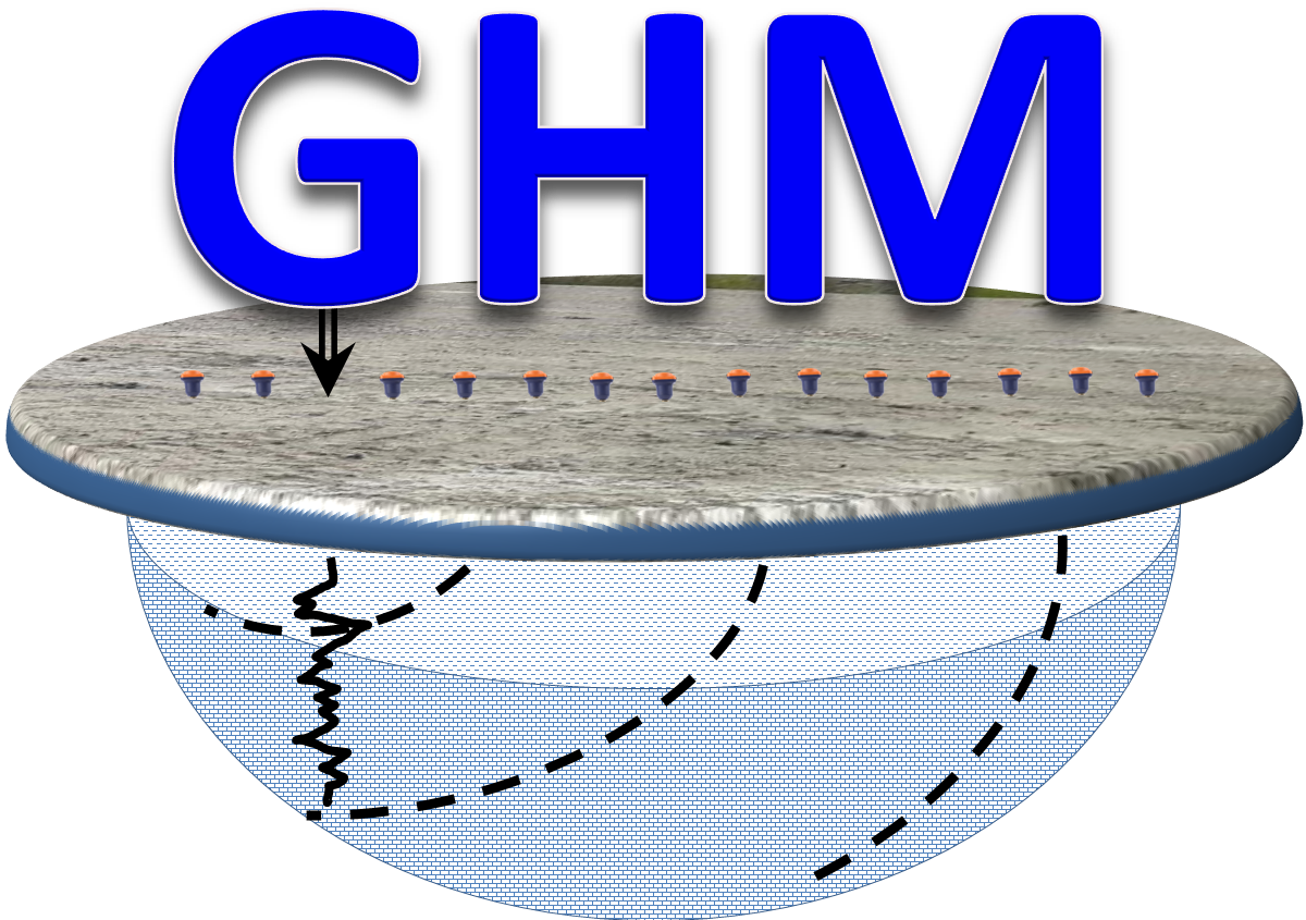
Borehole logging consists of measuring the physical properties of soil, rocks, groundwater and mineral occurrences inside geological and geotechnical boreholes with a variety of geophysical sensors and dedicated ADC data loggers. The sensors are usually deployed inside the bore and run along the drillhole path at equal intervals measuring the variations of the physical properties ,with an ADC located at the surface near the borehole collar. The borehole sensors or probes are connected to a multi-wire cable winded in a winch with an encoder for depth measurements. The measured properties are recorded digitally in 2D format with the vertical axis along the bore and the measured magnitude at the horizontal axis.
Borehole electrical logging is usually carried out using an array of electrodes or with special sondes. The mise-à-la-masse method is commonly used for delineating the depth, shape and extend of the mineral occurrence around the borehole. This technique is a borehole to surface method widely used in mineral exploration. In-hole and cross-hole logging are techniques commonly used for supporting surface geophysical exploration and mapping.
The Geonics Ltd EM39 provides measurement of the electrical conductivity of the soil water and matrix surrounding a borehole or monitoring well using the inductive electromagnetic technique. The unit employs coaxial coil geometry with an intercoil spacing of 50 cm to provide a substantial radius of exploration into the formation while maintaining excellent vertical resolution. Measurement is unaffected by conductive borehole fluid or the presence of plastic casing. The instrument operates to a maximum depth of 500 metres. The combination of a large conductivity range, high sensitivity and very low noise and drift, allows accurate measurement of subsurface conditions.
Typical applications include groundwater contamination monitoring, groundwater and mineral exploration, and general geotechnical investigations. The 4-conductor EM39 probe can be used with many commercially available borehole logging systems, or with a dedicated winch and console system from Geonics. Measurements can either be recorded with the DL600 digital data logger, or viewed in real-time using the EM39RT program with field computer (Geonics Ltd, 2021).
Advantages
Geophysics HM Ltd can assist environmental, mineral exploration and geotechnical professionals with a variety in-hole and cross-hole physical property measurements for contamination monitoring, mineralization characterization, hydrogeological studies, groundwater exploration and landfill site assessment. The main advantages of the system are:
Borehole core recovery is not required
Accurate depth of the sampled properties
Continuous measurement of the soil and rock properties
In-situ downhole measurement of the soil and rock properties
No effect significant of surface temperature and weather variations
 Geophysics HM