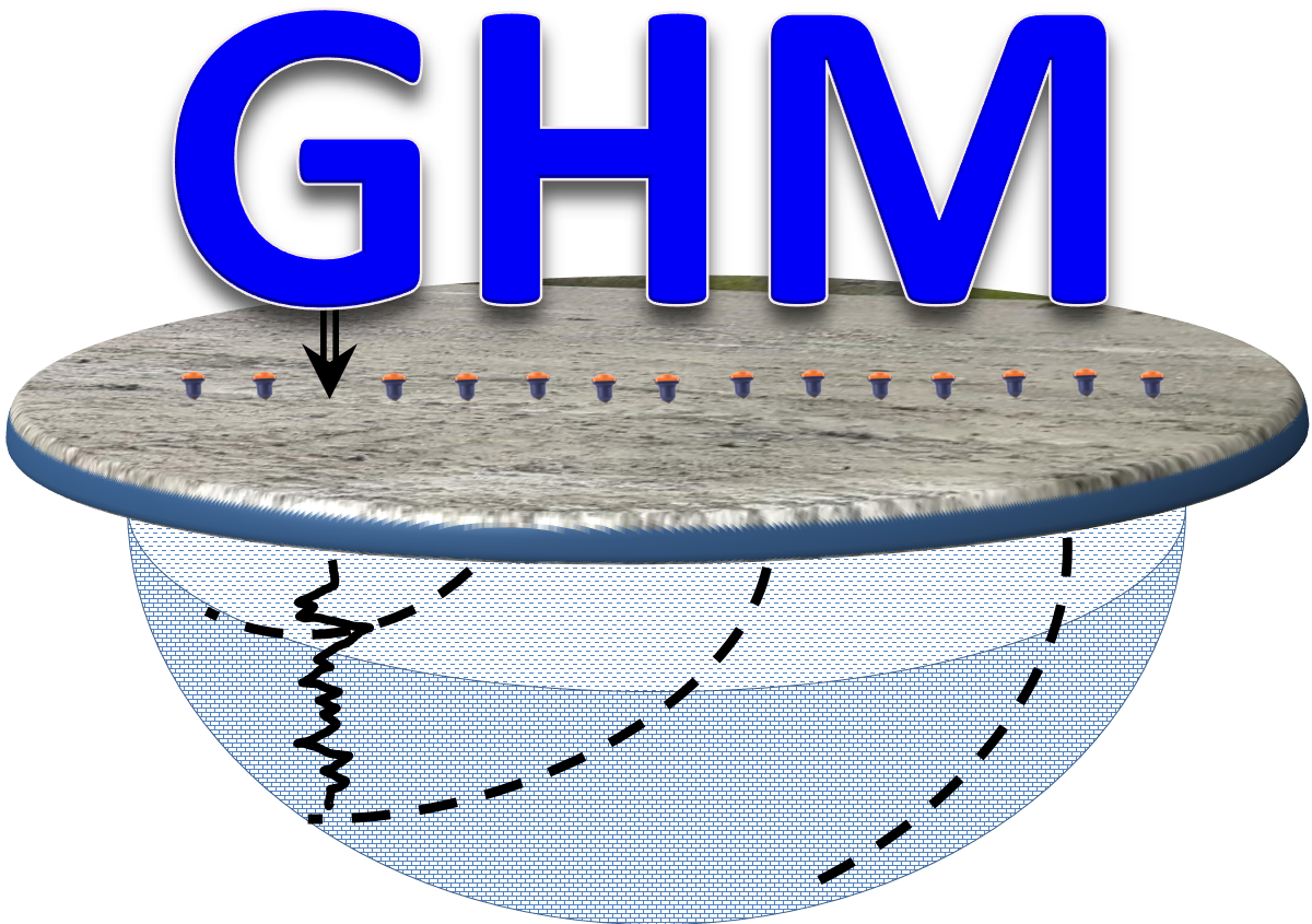
 Geophysics HM
Geophysics HM Ltd
SURVEY DESIGN
Phone: (365) 889 5400
Contact: sales@geophysicshm.com
Translate This Page
At "Geophysics HM Ltd" the survey design is the initial and the most important phase for any geophysical investigation. In this stage of the project, the survey objectives are carefully and thoroughly reviewed in order to produce a sound field program, data processing methodology, required data inversions, interpretation and results presentation including the type of maps, sections, reports and summary tables produced and provided to the client. The analysis and selection of any particular geophysical methodology or a combination of various geophysical techniques are the most important aspects to consider during the survey planning. A wrongful selection of the survey methodology could lead to significant loss of time and money. The geophysical engineer should assess which technique will be the most appropriate for providing the best solution to the survey objectives at the lowest cost and time.
Success in any geophysical exploration program requires a well-detailed survey design and adequate planning for data acquisition. Our team of professionals specializes in the design and planning of custom geophysical surveys for a wide variety of applications. After obtaining relevant information on the objectives and conditions of the site, including project goals, previous studies, known geology, climate, terrain data, access to the work area and safety, our professional team will develop a personalized proposal outlining the most effective geophysical survey methodology for data acquisition and interpretation of the results.
Having conducted over 800 surveys, we gathered the knowledge and experience necessary to complete a wide variety of geophysical surveys of different complexity and duration. For more information on the geophysical methods that we are able to employ please visit the geophysical applications page of our website. Stages of the survey design are planning, cost estimation and project management.

Field Survey Requirements

- Project Description: The client’s representative should provide a description of the site physical characteristics, its operations, general location and main access routes.
- Survey Objectives: The purposes of the investigation and target of the geophysical survey should be clearly defined by the client.
- Scope of Work: The scope of work should include the project extent, completion time and budget of the geophysical survey.
- Literature Review: After the request for the survey is received and the survey objectives are reviewed and discussed, the geophysicist responsible for the project will gather current and historic information and conduct a literature review and geoscientific data compilation for the areas of interest. This will allow a great deal of project optimization focusing on survey areas that have not been explored. For large projects, the review of aerial photographs, data from historic boreholes, public and government published maps and reports it is recommended since they are inexpensive and relatively simple to analyze and interpret.
- Project Location Maps: A comprehensive topographic and/or engineering plan map indicating the general location (town, cities and roads) and access routes to the project site should be provided before commencing the geophysical exploration.
- Survey Scales: The client should clearly indicate the scales of the maps, sections, graph and plots for the survey and for the final result presentation. The extent of the survey areas and the size of the targets will dictate the selection of the scale for the maps and cross-sections.
- Grid Maps: For an efficient data acquisition, it is highly recommended that the project manager makes an inform decision on the number of survey grids, the reference coordinates, profile positioning, offsets and orientation required for completing the survey. The grid location plan maps should depict the current site conditions and surface features that may affect the data acquisition. Site photographs, drawings and sketches depicting existing surface features and man-made structures are usually used for the grid layout. A site visit is recommended if the information available isnot sufficient for a detailed grid design.
Geophysical Survey Benefits
The professional geophysicist owes the client a detailed explanation on the survey benefits including the expected solutions to the project objectives and cost advantages of the proposed survey methodology compare to other traditional exploration techniques. The common benefits of the geophysical surveys are:
Non Destructive
Despite the measured geophysical magnitudes could be induced by man-made equipment (e,g, electric current, electromagnetic waves, seismic disturbances), the majority of the geophysical techniques are non-destructive, low risk and non-hazardous. This provides a wide window of applications in human congested areas, industrial plants, and environmental sensitive sites.
Non Hazardous
Most of the geophysical survey techniques are non intrusive techniques that does not require direct contact or minimal exposure to hazardous conditions and materials usually encountered in the filed where the surveys are carried out . The physical fields induced, generated and measured by the instruments are not hazardous to or pose any risk to human or the environment in general.
Large Coverage
Compared to other exploration and mapping techniques such as borehole drilling, coring, trenching, geotechnical soil and rock testing and geochemical sampling; the geophysical techniques can provide large area coverage and high resolution at lower cost and time, while providing similar results on the estimation of the analyzed physical properties.
Multi Component
Several geophysical technics can measure several physical properties in one single field setup or layout. Most of the geophysical techniques are simple to deploy and execute and can successfully resolve complex environmental, geological and mining problems reducing the cost and project completion time. A combined application of different geophysical methods over the same survey area reduces interpretation ambiguities and more reliable interpretation results.
Low Cost
The total cost of the geophysical projects is provided to clients as fix or hourly rate quotations which include the costs for field labor, equipment rental, consulting fees, mobilization, instrumentation amortization, data processing, inversions, interpretation, reporting and results presentation. The price estimation also includes filed consumables, personnel accommodation and other miscellaneous expenses if any. When compared to other conventional and intrusive investigation techniques (e.g. drilling, excavation, etc.) the total cost of the geophysical surveys is substantially inexpensive and always a small portion of the total project budget.
Time Efficient
Compared to other geological and conventional engineering methodologies, the geophysical field surveys can cover extensive amount of land and line profiles in relatively short periods of time. Preliminary results can be provided during field activities and also during the initial stage of data processing a few days after competition of the data acquisition.
Work Plan
- A geophysical field work plan should clearly indicate the amount of work to be performed, the execution time, personnel, geophysical methods and required resources. For a successful field campaign, the responsible geophysicist should consider all the factors that may affect the field survey completion, including but not limited to weather conditions at the time of the survey, topography (slopes, cliffs), vegetation, hydrogeology and water courses, wild life, traffic conditions, mobilization time from base to site and vice-versa, infrastructure, site obstructions, construction projects, access to site, site specific operation schedules, public affairs, urbanism, vandalism, etc. The plan should also include a map with the location of nearby towns, cities and hospitals. A risk assessment section with recommended contingence and safety measures is mandatory in case of unexpected adverse conditions.
Schedule and Budget
For large projects, a specific field work schedule sheet and acquisition progress map should be prepared before the survey commencement to avoid project delays and over-budget expenditures. For a better management of the survey execution, in addition to the line spacing and profile station interval the survey progress plan maps should include existing surface features, water bodies, topography, geology, expected target location, size and orientation. The field geophysics will update the documents with the areas covered as the project progress to avoid repetition, confusion and disruption of the survey execution.

Survey Parameters
For any geophysical survey to be effective there should be significant physical property differences between the investigated targets and the host matrix (e.g. geologic formations, soil, rocks, fill, and man-made materials). The differences in the physical properties of the materials should generate a response or signal large enough that can be measured with the geophysical sensors and data acquisition equipment.
Physical properties

The material physical properties investigated by geophysicists are Elastic properties (Refraction and Reflection Seismic), Magnetic susceptibility (Magnetometry), Resistivity (Electric Resistivity Tomography), Chargeability (Induced Polarization and Resistivity), Dielectric permittivity (Ground Penetrating Radar), Electric Impedance (Magnetotelluric), Density (Gravimetric) and Conductivity (Electromagnetics).
Target Detectability

Usually, the geophysicists run computer forward modeling and processing of the simulated data in order to gain valuable information on the minimum target dimensions and physical property differences with the background matrix that can be measured. The expected signal to noise ratio, background noise levels and data quality are addressed during the modeling as well. The target is detectable by the geophysical technique in question if the measured signal (natural or induced) is larger than excitation signal and the background noise.
Target Resolution

A very import aspect to consider for achieving positive survey results is the target resolution. This can be modeled using dedicated computer programs and charts which will provide information on the survey suitability for a locating and mapping the extent of a specific target. The adequate selection of the profile station intervals, length and grid line spacing are key factors during this process. The intervals should be close enough so that the smallest features of interest are not missed or overlook. Adequate line spacing selection is also critical for target extent delineation. As a rule of thumb, at least two lines should cross over the smallest target. For frequency dependent and electromagnetic induction techniques such as GPR and Time domain Electromagnetic it is recommended to have the wave length of the measured signal at least ¼ smaller than the target size. The higher the frequency used for the survey the higher resolution of small targets.
Investigation Depth

For some geophysical techniques the survey lines should be large enough so the survey reaches the required target depth of investigation. For some techniques (e.g. Seismic and Induced Polarization) the spread arrays or loops should be at least two times larger than the depth of investigation.
For some electromagnetic and magnetotelluric techniques the depth of investigation is dictated by the frequency of the excitation signal or natural field measured. The smaller the frequency the larger the depth of investigation and vice-versa.
Grid Extent

In order to estimate the proper extent and dimensions of the investigated targets, some geophysical technics (e.g. non-frequency dependent such as Time Domain Induced Polarization and Seismic) require that the survey grids and profiles extent well beyond the edges of the target. The measurements made in a few lines and stations located in the vicinity of the expected target position and depth should indicate that the signal is in the background noise level and not relevant to the target response.
Signal to Noise Ratio

The Signal to Noise Ratio (SNR) is defined as the relationship between the measured signal or response from the target the to the background noise. For a successful data acquisition, the geophysical systems should be calibrated for the site noise levels before survey commencement. Time series acquisition and frequency domain analysis are ideal for the SNR estimation. In frequency domain the SNR is estimated as the average of the power of the signal divided by the power of the noise. In time domain, the signal to noise ratio for a specific site is calculated as the root mean average of the measured signal voltage divided by the root mean square of the noise voltage.
Surveying Errors

The project geophysicist should have a high regard with surveying errors no matter the scale of the investigation, but more so with small scale projects. In geology, construction, environmental, geotechnical and Subsurface Utility Mapping projects the size and accurate estimation of the target dimensions and properties are the most important factors to consider for the investigation. Some structures and geophysical targets are of very small dimensions, sometimes in the millimeter range such as reinforcement, utilities, subsurface voids, honeycombing, concrete delamination and internal structure defects. The estimation of the dimensions, extent and the depth of these targets depends on the accurate sensor positioning over the investigated area. The most common errors encountered during the geophysical surveys are related to elevation measurements, line path deviations, distance measurements, GPS positioning, reference locations and offset errors.
Data Dimensionality

The acquisition of the geophysical data can be done in all possible though dimensions and configurations. Most common geophysical surveys are carried out in boreholes, ground surface and airborne. Some techniques use a 1D, 2D, 3D or a combination of configurations and dimensions for the acquisition of the geophysical data. Some techniques are done over the same area at different times for estimating the variation of the investigated properties (4D or time lapse surveys). In order to provide the best survey results possible, the effectiveness and cost of the field technique used in any possible dimension and configuration should be assessed, consulted and approved by the client.
-
Field Equipment and Accessories
- Project and Grid Location Maps are prepared during the survey design and planning stage of the investigation.
- Field Checklists are necessary for controlling equipment operation and field procedures during the geophysical survey. The field operator should document the following:
Daily Instrument Checks
Data Dump Records
Operating Procedures
Sensor Calibration Logs
Instrument Test Notes
Inventory & Storage Logs
- Geophysical field instruments, sensors, cables, electrodes and radio communication devices are commonly check, calibrated and tested prior the field work commencement. Each geophysical methodology has a set of required accessories and devices for the data acquisition and should be brought to the site. Spare parts are also required for long and remote surveys in order to avoid project disruption and delays.The geophysical instrumentation is selected based on the project objectives, cost, execution time and effectiveness of the methods used. For the majority of the projects, numerous geophysical instruments, tools and accessories are brought to the filed for the geophysical survey.
- Basic Locating Kit should contain the instrumentation and accessories for utility locate and should include:
Transmitter & Receiver units
Direct connection cables
Ground cable reels
Ground stakes
Induction clamps

- Batteries &Powering Devices such as batteries, charges and power generators are required for operating the geophysical instruments and for personal equipment use during the field survey.

- Field Notebooks and Pens are a must for the survey progress and observation documentation. Notebooks should be water resistant and manageable.

- Compass: is used for navigation and geographic positioning.

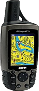
- Hand held GPS (Geographic Positioning Systems) are satellite-based navigation system for accurate geographic positioning and navigation, including topographic mapping, grid line referencing, surface object surveying, station location and elevation measurements.
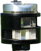
- Right Angle Prism is design for the estimation of perpendicular line of view between two surface objects.
- Digital Recording Devices are required for recording images and videos of the site conditions at the time of the survey for review and assessment during the data interpretation, reporting and presentation of the results.

- Multi-meter is recommended for testing and troubleshooting malfunctioning geophysical instruments, cables, connectors and other field devices. A multimeter that can measure voltage, current, and resistance is recommended.

- PPE and First Aid Kit is required for personal protection and quick aid during the field activities. The kit should include a hard hat, safety clear and/or sunglasses, raincoat and safety vest. In addition to that, personal prescribed and occasional medication for unexpected short-term illness and injures need to be contemplated.

- Field Laptop for large scale and long lasting projects where field accommodation is necessary a personal computer is required for downloading and pre-processing the acquire data while in the field.

- Safety Jackets, Vest and Pants some projects and production sites require the mandatory use of protective jacket, vest and pants for personal protection against the harsh environments and site operational conditions.
- Weather Hats and Gloves are necessary for cold weather environments.

- Backpacks are necessary for carrying clothes, food, small electronic devices, tools, notebooks and work items.

- Measuring Tapes and Wheels are a must toolset to have during the field grid setup and profile installment.

- Locators Tool Box for locating activities should contain the following items:
Screwdrivers
Allen keys
Wrenches and vice grips
Wire brush and file
Copper clamp
Utility knife
Steel mallet

- Marking Supplies are necessary for site utility locate and marking. The following items are required for the field activities:
Spray paint
Paint applicator
Fluorescent pin flags
Wood stakes
Chalk


Geophysics HM Ltd
Geophysics HM Ltd Office
51 Strachan Street E. Hamilton. Ontario. L8L3M3
Phone: (365) 889 5400