Geophysical surveys are widely used in geological projects for profiling of bedrock topography and structure stability assessment, location of voids, sinkholes and abandoned mineshafts, mapping the water table, integrity testing of various surfaces and underwater structures.
Geophysical methods include gradient magnetometry, induced polarization, EM conductivity profiling and sounding, 1D resistivity sounding, 2D resistivity imaging, self-potential, seismic refraction and induced polarization.
Bed Rock Depth
Soil Types
Void &Sinkholes
Seismic and MASW for Site Classification
Geophysical methods are used to investigate complex geological sites that require an assessment of the soil and rock properties and their distribution in the subsurface. The dynamic moduli can be fully calculated after measuring seismic velocities on site. The measurements of seismic velocities of the soils and rocks are used for estimating the density of the materials and for calculating the the Poisson Ratio, Shear Modulus, Young's Modulus and Bulk Modulus . These estimated geophysical properties are very valuable for construction and infrastructuredesign projects where conventional investigation techniques can not be used or deployed to an specific site due to time constrains, access restrictions, public & personnel safety implications and budget limitations.
Geophysical Methods Used in Geological Investigations
Seismic - MASW
ERT
GPR
FDEM
Gravity
EPSILON Profiler
POISON TS
Applications and Solutions
Bedrock Depth
Bedrock Topography
Borehole Clearance
Borehole Location
Building Foundations
Alluvial Channels
Caverns
Discontinuity Mapping
Disturbed Soil
Drilling Program Planning
Earthworks Inspection
Engineering Velocity Models
Faults
Fill Depth
Fill Spatial Distribution
Fill Volume
Fracture Zones
Karst Formation
Landslides
Landslip Geometry Profiling
Lithological Mapping
Organic Soil Thickness
Overburden Thickness
Seismic Site Classification
Sinkholes
Slope Stability
Soil Classification
Soil Condition
Soil Mechanical Properties
Soil Variability
Soil Property Changes
Stratigraphic Layer Thickness Estimation
Stratigraphic Soil Profiling
Structural Investigations
Test Pit Clearance
Settlement Assessment
Trenches
Tunnels
Voids Mapping
Water Table Depth
Weathered Bedrock
Erosion
Flooding Sediments
Geological Hazards
Groundwater seepage
Soil Mechanical Properties
Subsidence Zones
Water infiltration and damage
Depth of Topsoil Estimation
In agriculture, the estimation of the depth of topsoil is an important issue. The areas that show very shallow topsoil are correlated to low-productivity rates. Deep topsoil corresponds to higher productivity. Seismics refraction, Electrical Sounding and 2D Electrical Imaging are used in the estimation of the topsoil depth.
Location of Buried Trenches
Location of former burial trenches can be an important part of many environmental investigations. Geophysical methods provide an excellent method to identify and map these features. EI, MAG and Seismics and EM are used to measure changes in the physical properties of subsurface materials.
Void Development
Void and cavities can cause damage to a homes and constructions. Ground Penetrating Radar, Electrical Imaging (EI) and Seismics are used for disturbed soil investigations and location of voids below and in the vicinity of buildings and structures.
Rock Rippability Studies
Rippability investigations include estimation of the depth to bedrock and water table; to characterize rock type and degree of weathering; and to locate fractures, faults, and buried channels. A refraction seismic survey is used to measure compressional-wave velocities in order to evaluate the rippability of the subsurface. Individual subsurface layer depths and thickness can be calculated based on the analysis of sonic wave arrival times.
Dam investigations
Seismic surveys are used to identify variations in depth to bedrock, as well as changes in velocity and elastic properties within the bedrock potentially indicative of physical rock property variations.
Leakage of water through a dam poses a serious safety hazard to public and environment in the adjacent areas. Spontaneous Potential methods measure the natural electrical potential generated by the water flowing through fractures and cracks in the dam and/or reservoir structure. Electrical resistivity methods are used to evaluate the saturation within dams as well as mapping fractures below the dam and reservoirs.
Soil Type Classification and Physical Property Analysis
Determination of soil properties can be a fundamental objective of a geological investigation (eg. location of clays or sand soils). For geotechnical investigation shear and compressional velocity information can be used to establish the Poisson's ratio for the soils and combined with soil densities to estimate Young's modulus, shear modulus and dynamic modulus properties of the soils. EM conductivity and Seismic refraction methods are used.
Geologic Hazards Investigations.
Seismic shear velocity measurements performed on site using conventional refraction methods is the most common method used for geologic hazard investigations. Rock and Soil Properties estimation (Elastic Moduli And Shear Wave Velocities).
Pipeline Tracing
Inducing a signal onto a subsurface utility and tracing the signal as it moves along or within the utility map underground pipes and utilities. Inductive locating is a method for locating unknown or lost conductors.
Quarry & Aggregates
Geophysical methods are widely used in the quarry and aggregate industry for characterizing the changes in the physical properties and mapping the rock types required for processing. Ground Penetrating Radar, Electric Resistivity Tomography and Seismic Methods are useful for assessing the rock and materials quality, estimating the thickness of the overburden and and localizing areas of intense fracturing and weathering.
Fracture Zones Mapping
The precise location of fault zones can influence the results of geological and environmental investigations. Applications include locating high yield wells, or the identification of potential seismic hazards. DC resistivity, Electrical Imaging and Seismic profiling can be used to locate fault systems and the fault dip and direction.
Electrical Grid Locates and Power System Grounding
High quality grounding surveys required by the utility industry are performed with standard geophysical resistivity equipment. Geophysical methods include EI, EM and VES.
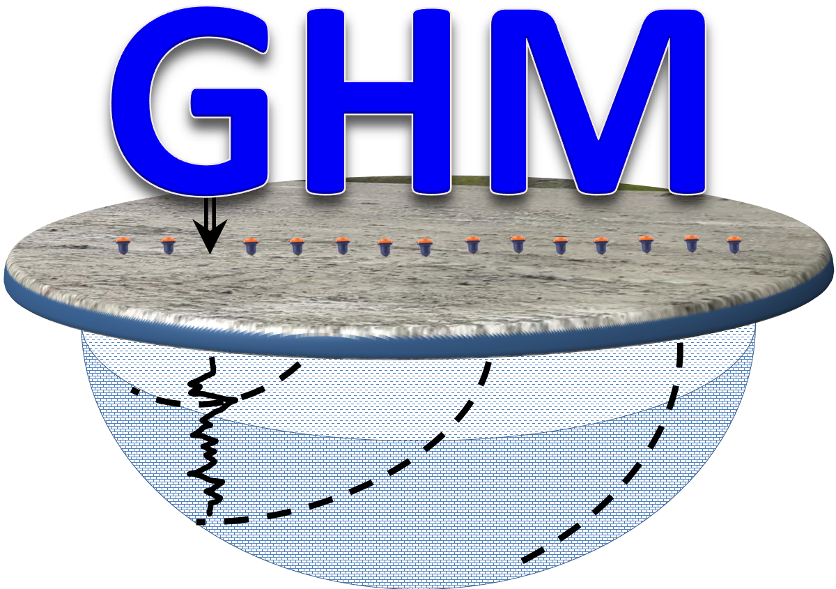 Geophysics HM


