Geophysics HM Ltd geo-scientific reports include digital and hard copy of all raw data, documents and final maps. The files can be provided as Geosoft, RockWork, Surfer, JPG, PNG, or PDF files. Data viewer applications are included to allow quick and easy viewing of the map files as well as databases which may be loaded onto Excel and alternative database management programs. Additional formats such as AutoCAD DXF or ArcGIS shape files may be provided upon request. Files can be supplied by FTP in cases where rapid turnaround is required. A customized secure login and password is provided to ensure privacy.
The format and style of the technical report or geophysical component of a larger report will vary depending upon the objectives and scope of the work program. All reports should document the program objectives and scope of work, the geoscientific concept and rationale for the investigative program, field and analytical methodology, results, and conclusions or findings. Any changes in objectives and scope of work should be documented. The products delivered to the client include Geophysical Interpretation reports, Executive Summaries and Geoscientific Presentations.
All reports should document the program objectives and scope of work, the geoscientific concept and rationale for the investigative program, field and analytical methodology, results, and conclusions or findings. Any changes in objectives and scope of work should be documented. The adequacy of the collected data should be critically assessed as to its ability to support any qualitative and quantitative conclusions that are reported. In addition, any known limitation of the geophysical program, or geophysical method(s) utilized, should be clearly communicated in technical reports.
Documents and Presentations
The report should state whether recommendations are provided either in the report or under separate cover. The results of the geophysical program should be presented in graphical format appropriate to the data set such as cross-sections, plan views, 3-D images, temporal plots. The methodology used for estimation or delineation and the associated uncertainties must be documented. Where cost estimates are provided, the assumptions used in developing the cost estimate should be documented. Technical reports should describe and document the interpretation and discuss information that appears at variance with the selected interpretation.The Geophysics HM Ltd survey report include all of the following information and topics:
Introduction
Project Overview
Survey Objectives
Site Conditions and Weather
Methodology
Survey Grid Installment
Data Acquisition
Data Processing
Interpretation
Results
Conclusion and Recommendations
References
Statement of qualifications
Appendices
Terms and Conditions
Instrument Specifications
Theory and Application
Tables and Maps
Maps, Sections and Volumes
An integrated presentation and compilation of all available data, results and information that can be used not only for decision-making but for establishing time-indexed baseline information should be created. Another increasingly important objective is to ensure that the data and information are archived for future access (i.e. results may be required for reference in future activities such as re-measurements to compare evolution of conditions over time, or for legislative or judicial procedures). The final maps must include all of the following topics:
Base map with bar scale and survey coordinates system;
The location of roads and trails used to gain access;
The location of survey lines that were used to acquire data;
The location of fixed exploration equipment;
The location and size of campsites, and survey bases;
The location of stream crossings;
The total length of all existing lines that were used to acquire data;
The total area of survey grids;
Grids and contours of the geophysical properties analyzed;
Data graphs commonly show measurements as a function of distance, time or frequency. They are summaries of the observations and not geological interpretations.
2D Anomaly Maps
These maps give an overview of the results but not all the details. Iso-resistivity maps are plotted at particular depths and show resistivity patterns at that depth. They are summaries of the observations and not geological interpretations.
2DContour Grid Maps
A contour map is a map illustrated with contour lines, for example a topographic map, which thus shows valleys and hills, and the steepness or gentleness of slopes. The contour interval of a contour map is the difference in elevation between successive contour lines.
Compilation PlanMaps
A raised-relief map or terrain model is a three-dimensional representation, usually of terrain, materialized as a physical artifact.
Geophysical Sections
A raised-relief map or terrain model is a three-dimensional representation, usually of terrain, materialized as a physical artifact.
3D Volumes and Models
A raised-relief map or terrain model is a three-dimensional representation, usually of terrain, materialized as a physical artifact. When representing terrain, the vertical dimension is usually exaggerated by a factor between five and ten; this facilitates the visual recognition of terrain features and terrain physical properties
Application Examples
We use commercial available and in-house developed “state-of-the-art” systems and data processing software for many of the geophysical techniques. Our professional's expertise in the field of geoscience allows us to make high-quality interpretation of Geophysics HM Ltd and third party data sets.
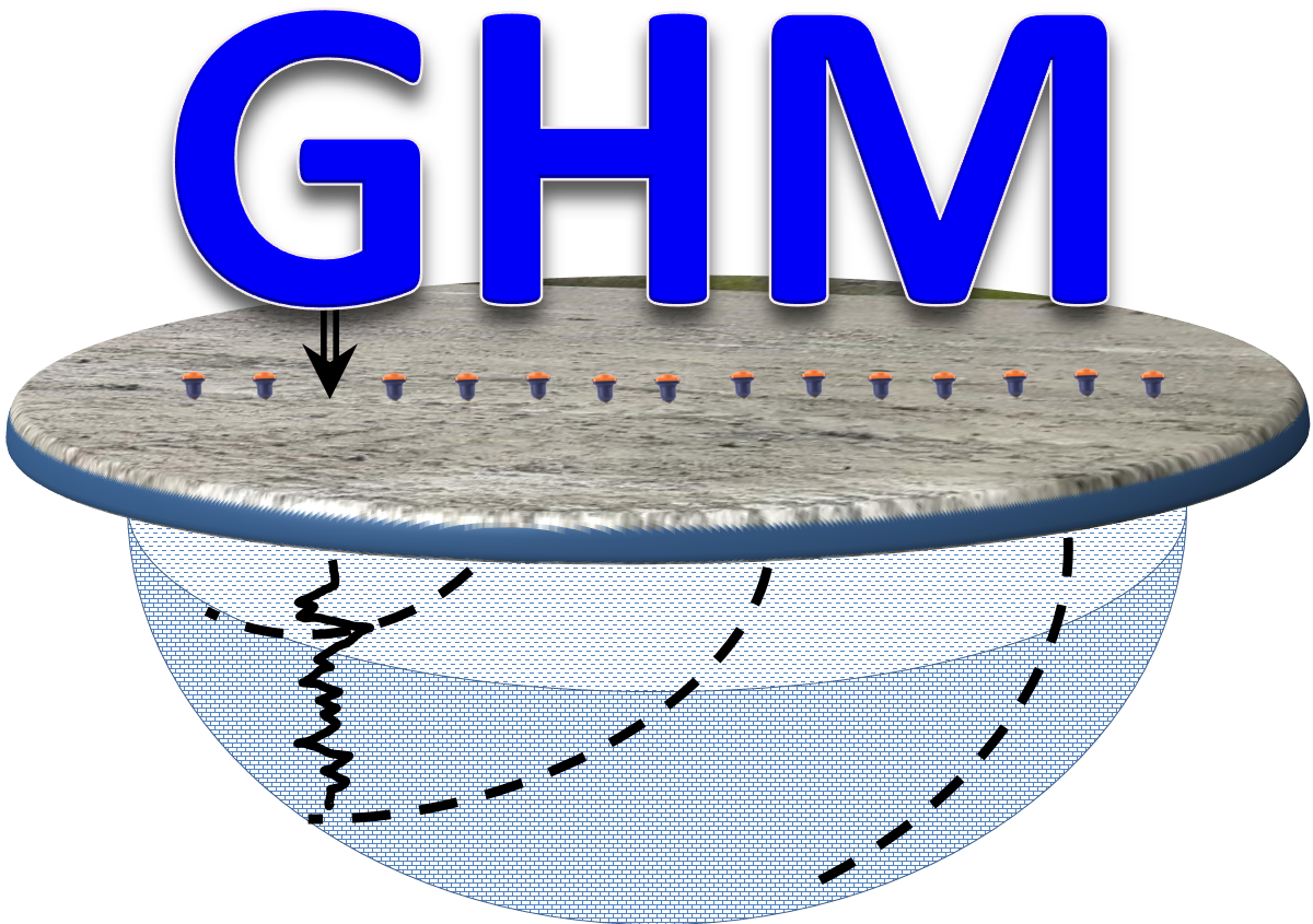 Geophysics HM


