Geophysics HM Geophysics HM

Geophysics HM Ltd

  • Home
  • Industry
  • Applications
  • Services
  • Technology
  • Contact Us
  • Mission Statement
  • Portfolio
  • Contacts
  • Technical Team
  • Archeological
  • Bridge Inspection
  • Construction
  • Due Diligence
  • Geology
  • Environmental
  • Forensics
  • Geotechnical
  • Hydrogeological
  • Mineral Exploration
  • Road Structure
  • Utility Mapping
  • Sector Applications
  • Survey Design
  • Data Acquisition
  • Data Processing
  • Interpretation
  • Reports and Maps
  • DELTA Bridge Scanner
  • EPSILON Road Profiler
  • POISSON Time Series
  • GPR
  • Utility Locates
  • Metal Detector
  • Conductivity Mapper
  • MASW
  • Seismics
  • Induced Polarization
  • Borehole Logging
  • Geophysical Methods
  • VIC Program
  • Home
    • Mission Statement
    • Portfolio
    • Contacts
    • Technical Team
  • Industry
    • Archeological
    • Bridge Inspection
    • Construction
    • Due Diligence
    • Geology
    • Environmental
    • Forensics
    • Geotechnical
    • Hydrogeological
    • Mineral Exploration
    • Road Structure
    • Utility Mapping
    • Sector Applications
  • Applications
  • Services
    • Survey Design
    • Data Acquisition
    • Data Processing
    • Interpretation
    • Reports and Maps
  • Technology
    • DELTA Bridge Scanner
    • EPSILON Road Profiler
    • POISSON Time Series
    • GPR
    • Utility Locates
    • Metal Detector
    • Conductivity Mapper
    • MASW
    • Seismics
    • Induced Polarization
    • Borehole Logging
    • Geophysical Methods
  • Contact Us
    • VIC Program
 

HYDROTECHNICAL INVESTIGATIONS 

Phone: (365) 889 5400

 Contact: sales@geophysicshm.com

Translate This Page

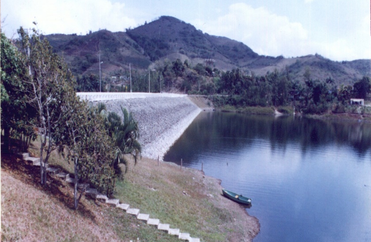
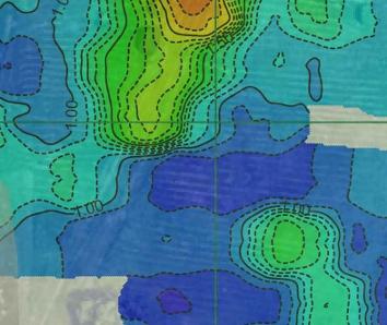
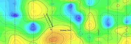
  1. Geophysics HM Ltd offers a variety of non-invasive geophysical techniques for  hydrotechnical infrastructure suitability, dam and channel construction, structure integrity inspection and stability assessment. The investigations include bedrock characterization, stratigraphic profiling, foundation assessment, concrete structure imaging, seepage pathway mapping, crest and spillways stability assessment, leaks detection, karst formation and disturbed soil mapping.
 Geophysical Methods Used For Hydrotechnical Investigations
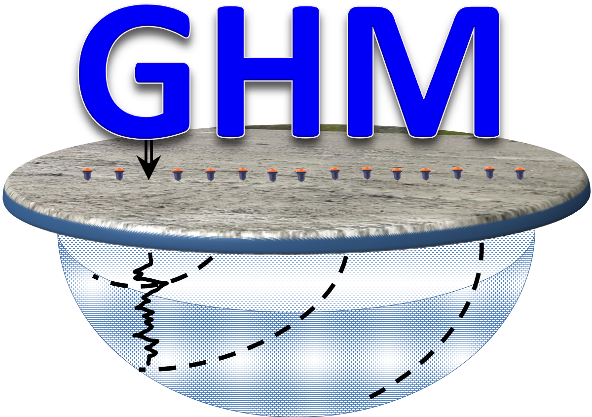
ERT & DCIP

Seismics

GPR

Structure Scanner

Spontaneous Potential

Soil Conductivity

Gravity

Utility Locates

Applications and Solutions
  • Bathymetric Profiling
  • Bedrock Profiling
  • Canal Embankment Leaks
  • Canal Structure Imaging
  • Dam Footing Imaging
  • Dam Foundation Mapping
  • Dam Infiltration Zones Mapping
  • Dam Stability Assessment
  • Dam Structure Integrity Assessment
  • Disturbed Soil Mapping
  • Groundwater Channel Mapping
  • Groundwater Conditions Assessment
  • Groundwater Levels
  • Karst Conditions Assessment
  • Lake And River Bottom Profiling
  • Overburden Thickness Estimation
  • Reservoirs Seepage Locate and Mapping
  • Retaining Wall Integrity Assessment
  • Sinkholes And Voids Mapping
  • Submerged Foundation Delineation and Inspection
  • Subsoil Inspection And Evaluation
  • Underwater Foundation Integrity Assessment
  • Underwater Utility Mapping

Soil Type Map

Spontaneous Potential Contour Grid Map

Contact Us

Geophysics HM Ltd

Geophysics HM Ltd
Tweet
 

sales@geophysicshm.com

info@geophysicshm.com

ghm@geophysicshm.com

emartinez@geophysicshm.com

Geophysics HM Ltd Office

51 Strachan Street E.  Hamilton.  Ontario. L8L3M3

Phone: (365) 889-5400

Home

Services

Applications

Technology

Contact Us

Geo Store